

A low-pressure system over the Bay of Bengal is set to intensify into a deep depression on September 22.
Heavy to very heavy rainfall is expected over coastal Andhra Pradesh and Odisha between September 22 and 24.
Winds over parts of the Bay of Bengal could reach 50 to 60 kmph, gusting to 70 kmph.
Heavy rain is also forecast for Chhattisgarh, Gangetic West Bengal, Karnataka, Maharashtra and Telangana.
Delhi is expected to remain mainly clear, with no warning issued for the capital on September 22.
A low-pressure area over the east-central Bay of Bengal and adjoining north Andaman Sea intensified into a depression around September 21.
The India Meteorological Department expects it to strengthen further into a deep depression on September 22.
Winds over parts of the Bay of Bengal could reach 50 to 60 kmph, gusting to 70 kmph, on September 22.
North coastal Andhra Pradesh is likely to come under the influence of the system from September 22.
Heavy to very heavy rainfall is expected over coastal Andhra Pradesh and Odisha between September 22 and 24.
Heavy rain is also forecast over Chhattisgarh, Gangetic West Bengal, Karnataka, Maharashtra, Telangana and parts of the Northeast.
Jharkhand is expected to see heavy rain with thunderstorms and lightning on September 22.
West Bengal and Sikkim are forecast to see thunderstorms, lightning and squally conditions.
West Madhya Pradesh is under a thunderstorm and lightning warning.
The latest bulletin did not include warnings for Delhi-NCR, Uttar Pradesh, Punjab, Himachal Pradesh, Jammu and Kashmir, or Rajasthan for September 22.
Delhi is expected to remain mainly clear, with a maximum temperature of around 35 degrees Celsius and a minimum of about 24 degrees.
Heavier rain and thunderstorm activity is expected to reach Uttar Pradesh from around September 24-25.
Fishermen have been advised not to venture into the Bay of Bengal in areas affected by the strengthening system.
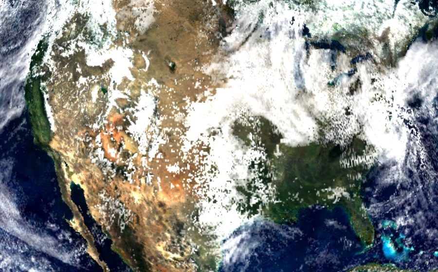
Tropical cyclone over the Bay of Bengal (NASA, representative image), Wikimedia Commons, public domain